|
|
||
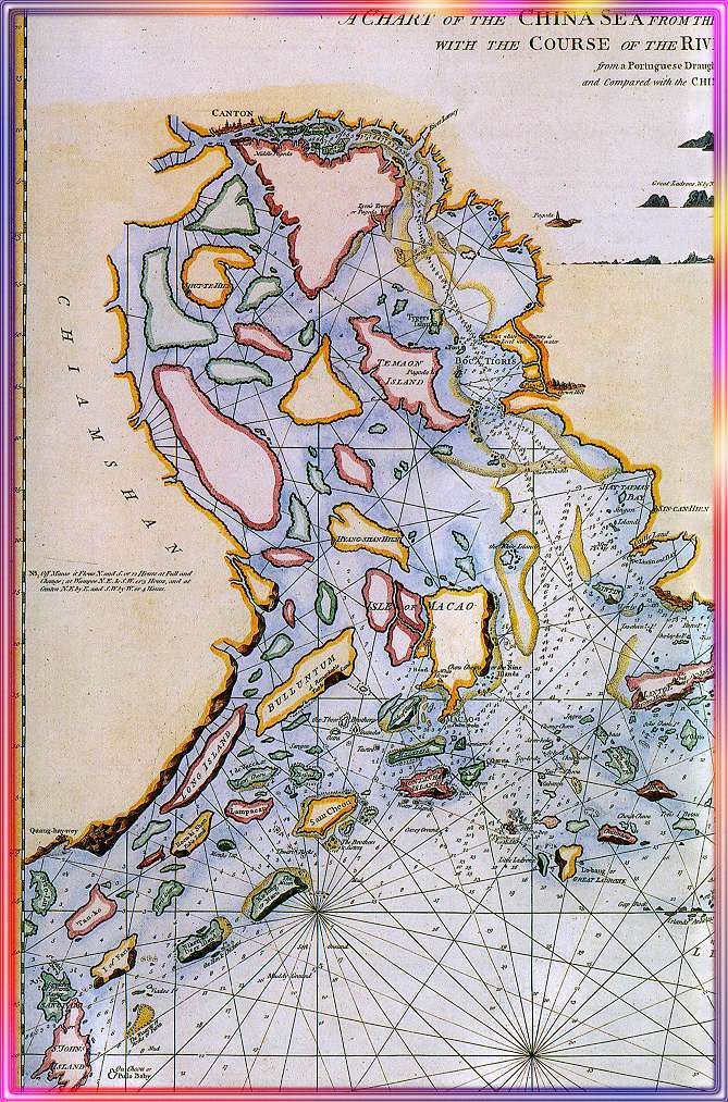
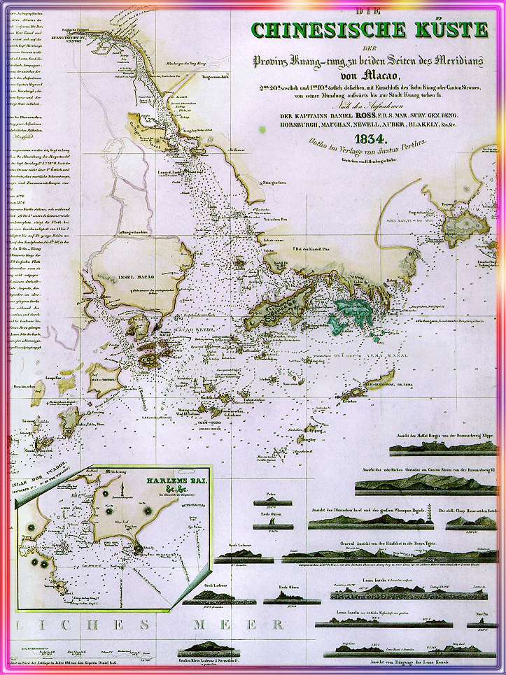
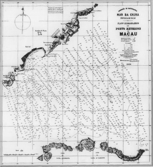
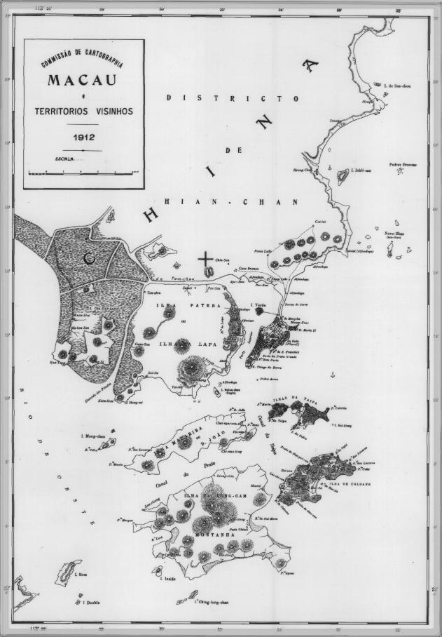
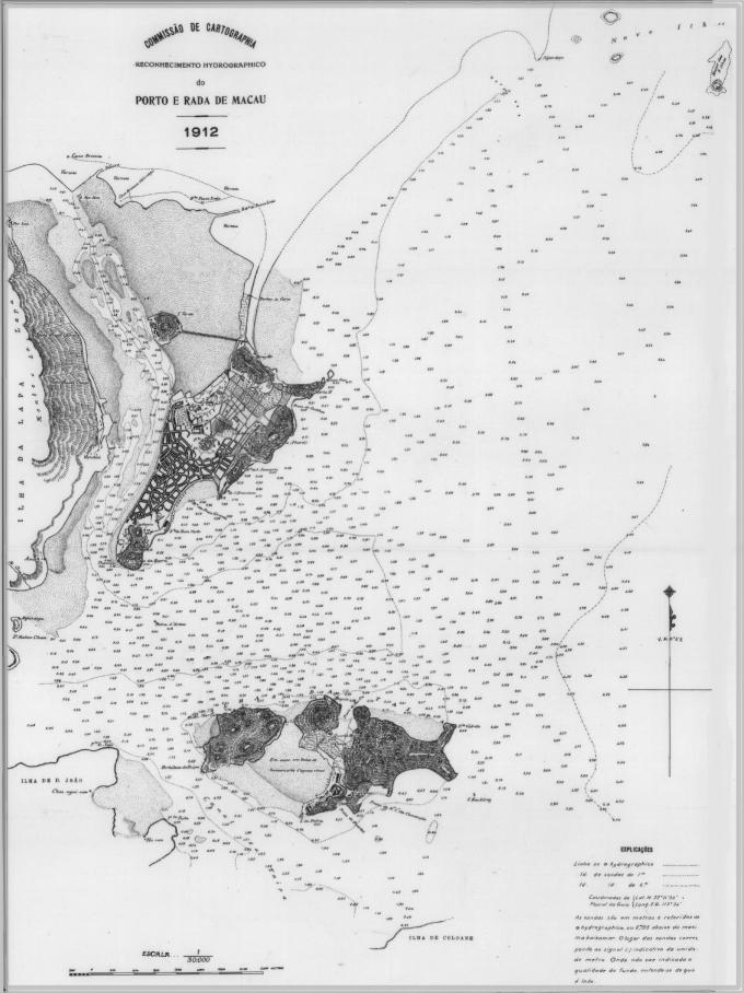
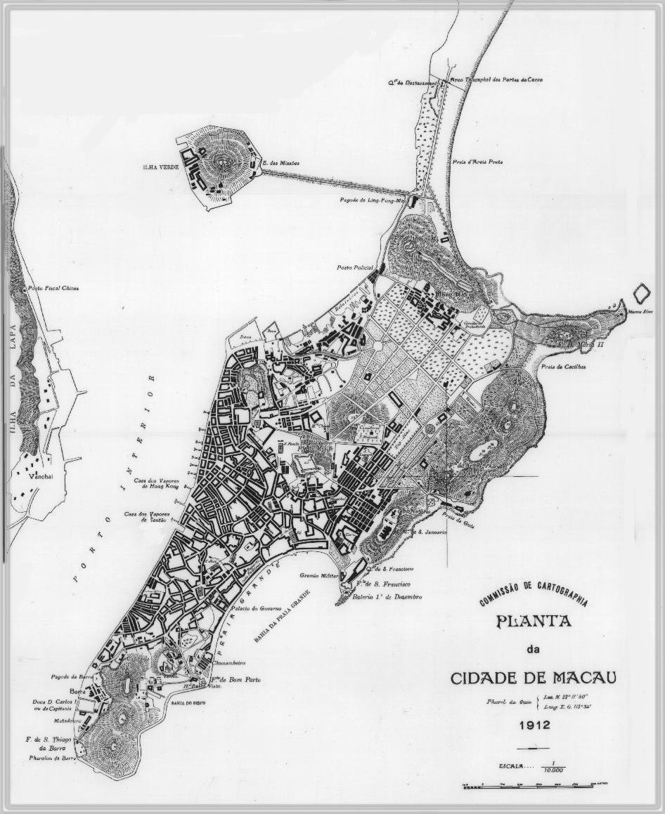
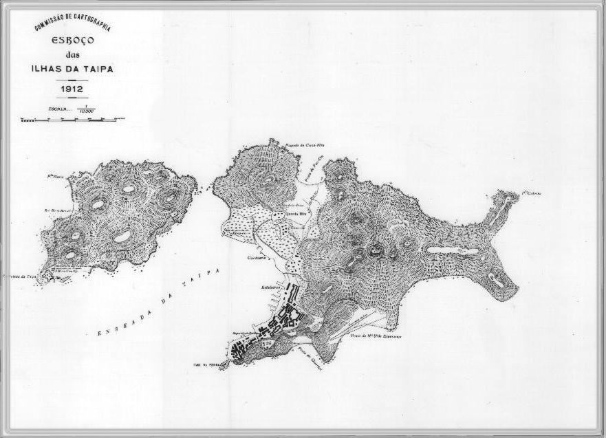
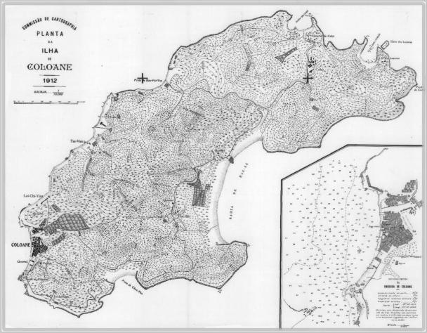
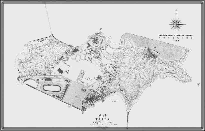
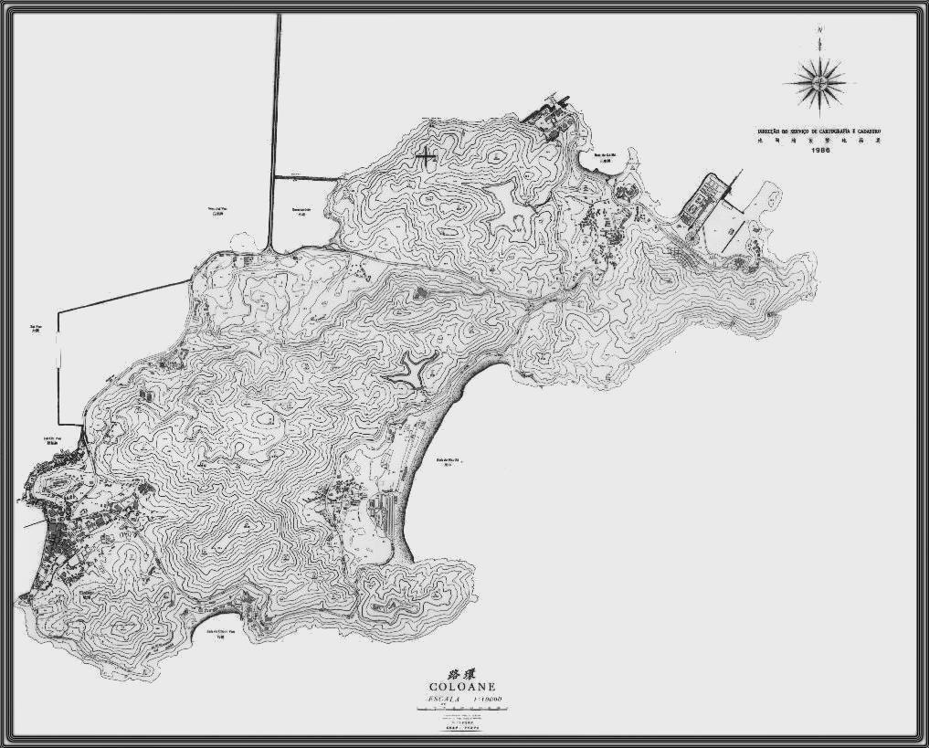
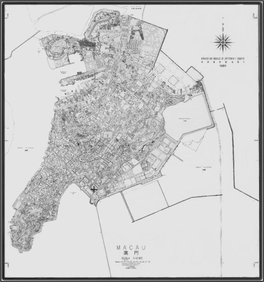
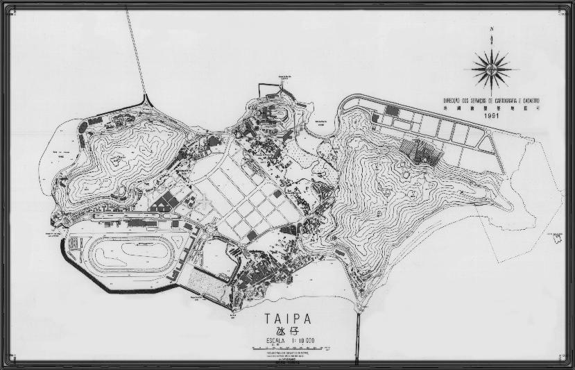
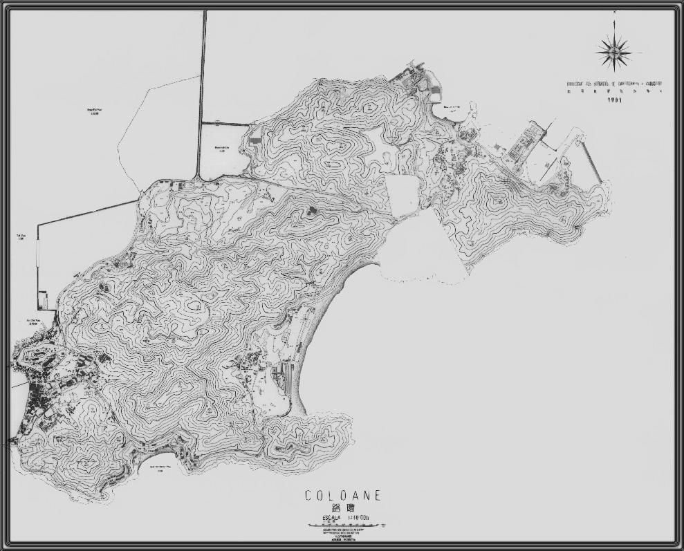
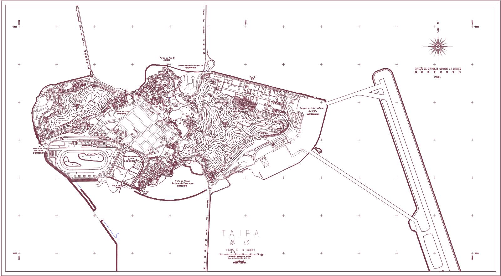
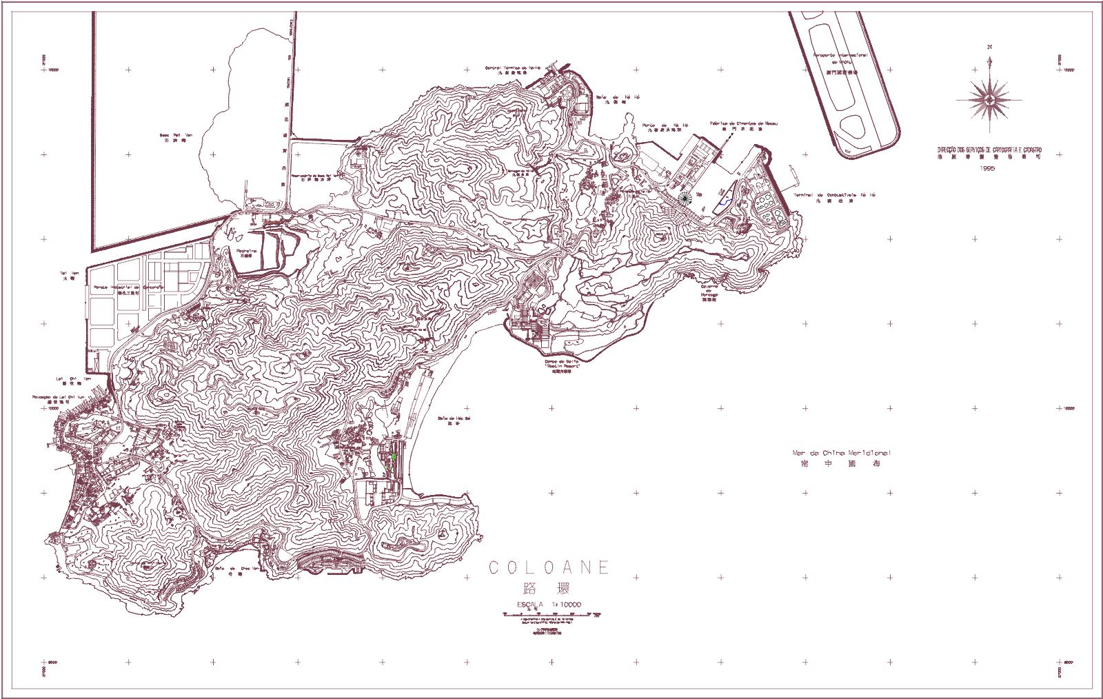
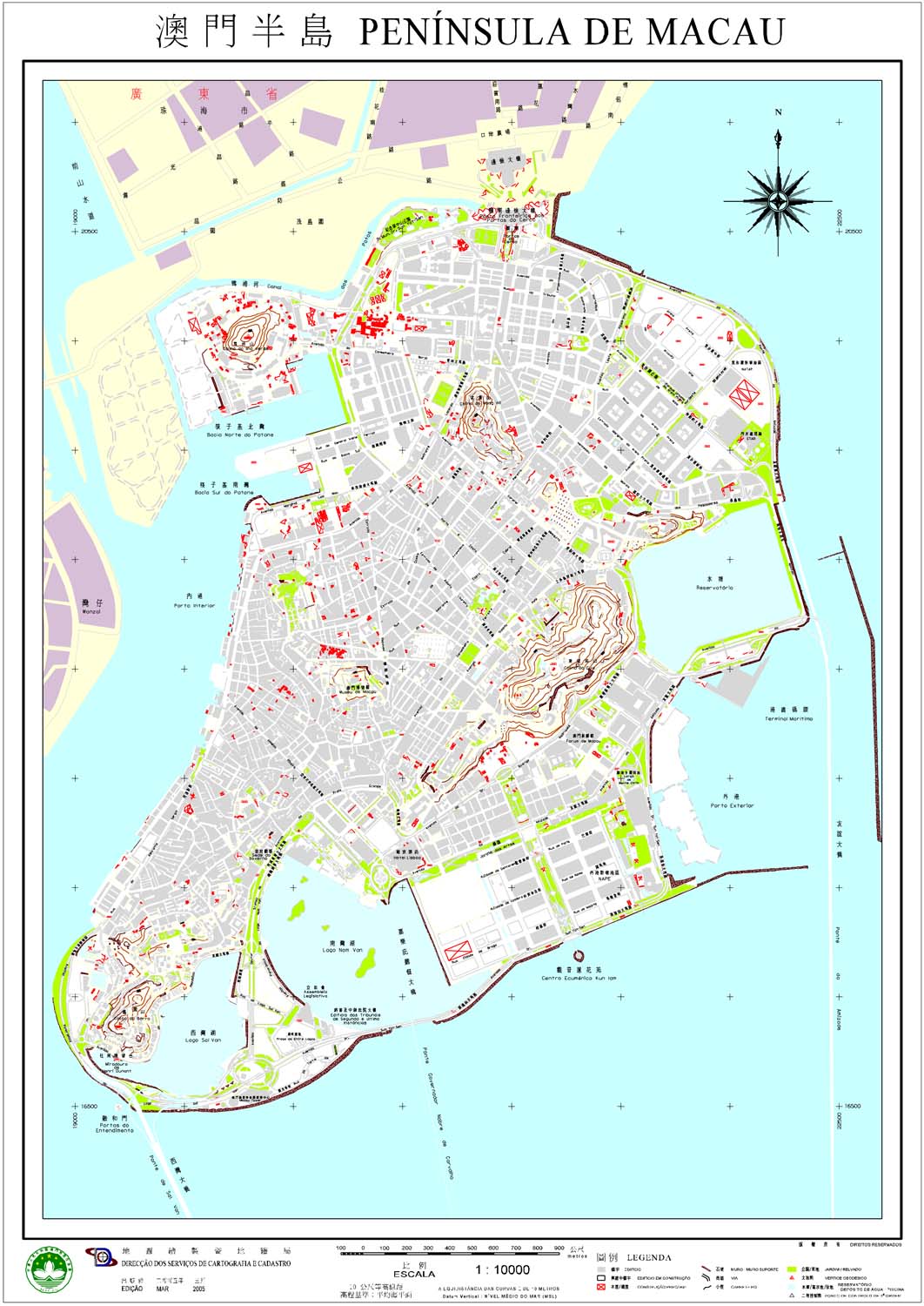
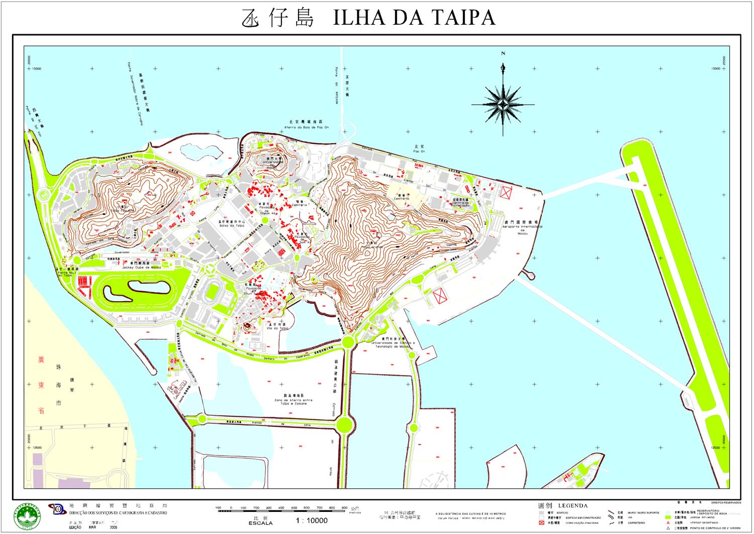
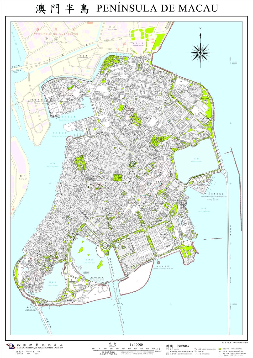
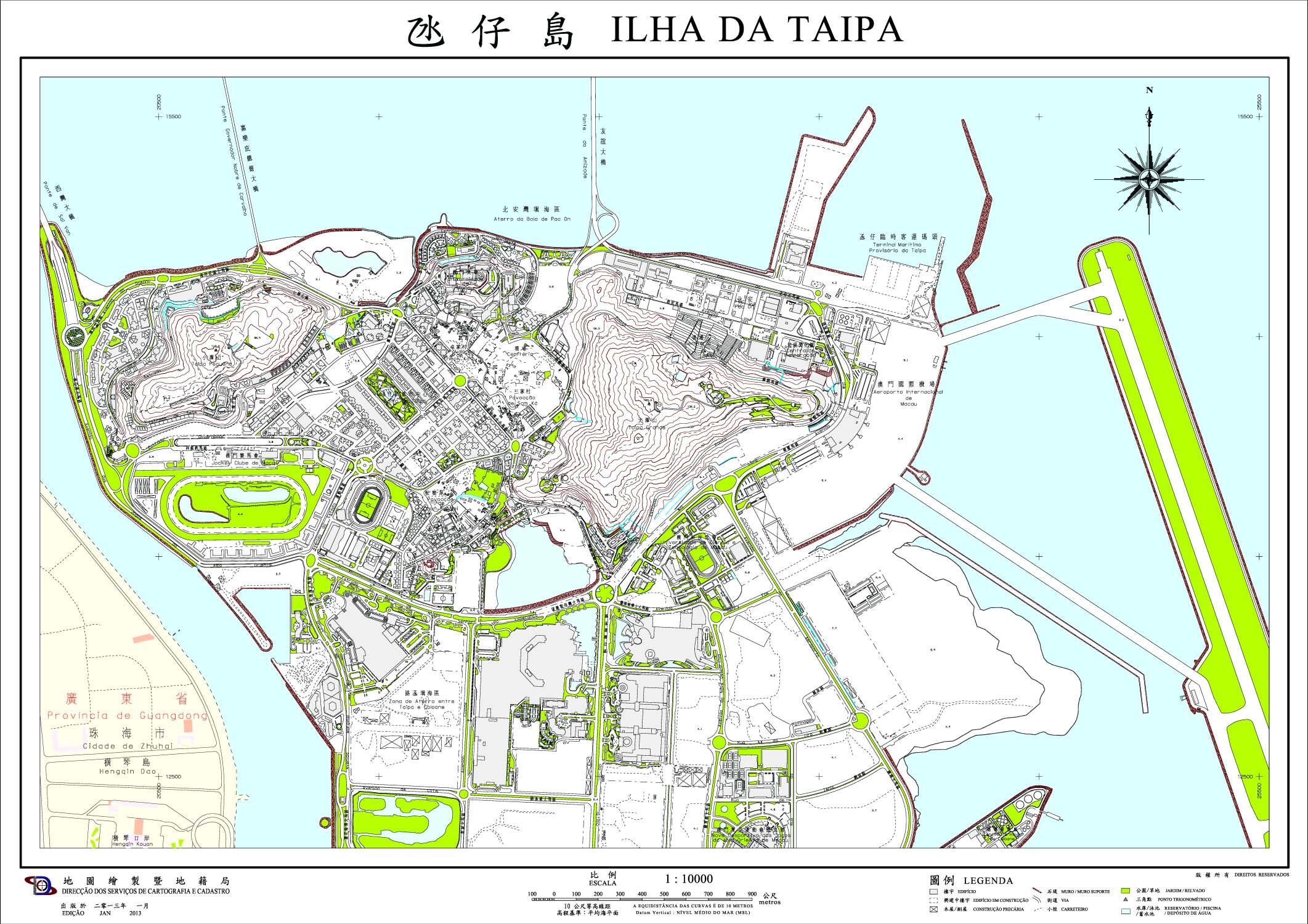
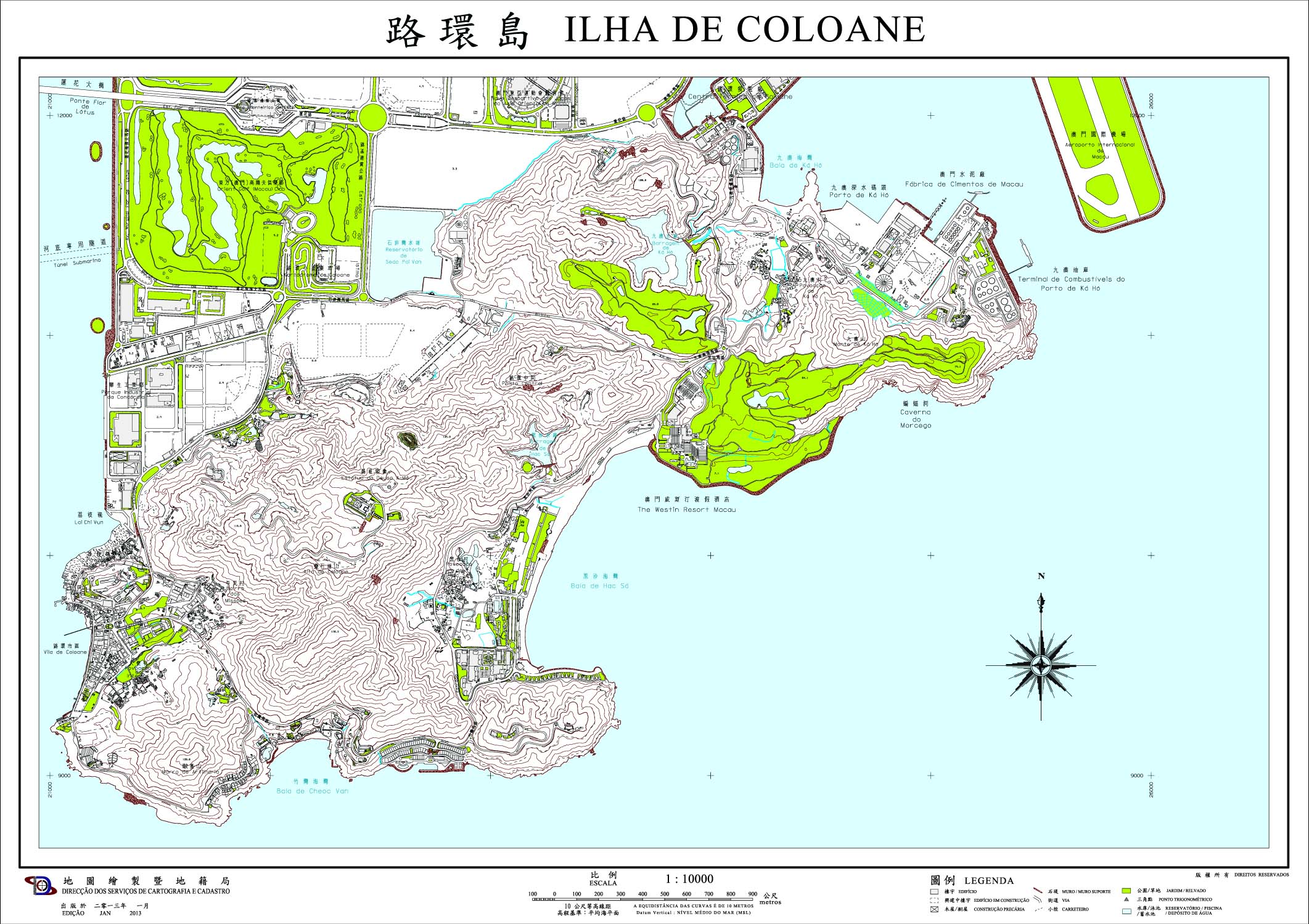
| The historical maps record the geographical features of the Macao region from the 18th century to the beginning of the 21th century. Through the surveying information on the maps, they reflect the development and changes of the Macao region over the years. From the early small-scale historical maps which depict the geographical location of the Macao region in the Pearl River Delta, to the large-scale historical maps that display basic information on the then physical and human geography of the Macao region, such as topography, community development and distribution of human settlements, they have important reference value for learning about the changing times, history, culture and geographical environment of the Macao region. | ||
| Note: Some maps are not published by our bureau and provided for reference only. | ||
-
 Home
Home
-
 About Us

-
 Service Application

-
 Latest News
-
 Statistics
-
 Geographical Knowledge

-
 Geographic Information Application

-
 Introduction
-
 Geospatial Portal
-
 Macao Online Map
-
 Macao 3D Map
-
 Cadastral Information Website
-
 Macau GeoGuide
-
 GeoGuide for emergency
-
 Traffic Geographic Information Website
-
 Macao Satellite Positioning Reference Station Service (MoSRef) Website
-
 Macao Street and Door Number Enquiry System
-
 Walking Routes Map
-
 Applications Programming Interface for Geographic Information
-
-
 Tender

-
 Opinions
-
 Contact Us
Cartography and Cadastre Bureau
Office hours: Monday to Thursday 9:00-13:00 and 14:30-17:45
Friday 9:00-13:00 and 14:30-17:30
Friday 9:00-13:00 and 14:30-17:30
Address: Estrada de D. Maria II, 32-36, Edificio CEM, 5th floor, Macao
QR code:


Last Updated:
[Usage Disclaimer] [Privacy Statement] [Sitemap]
Copyright©Cartography and Cadastre Bureau

